 |
| Starting point for the Western Okataina Walkway |
The track starts through a ceremonial gateway and is well formed and marked. Considering the amount of rain this area has had lately, it's in great order with no bogs. There were a few Tui calling, right around the Education Centre.
 |
| Impressive tree specimens and a nice track |
 |
| Glad I wasn't here when this big fella came down! |
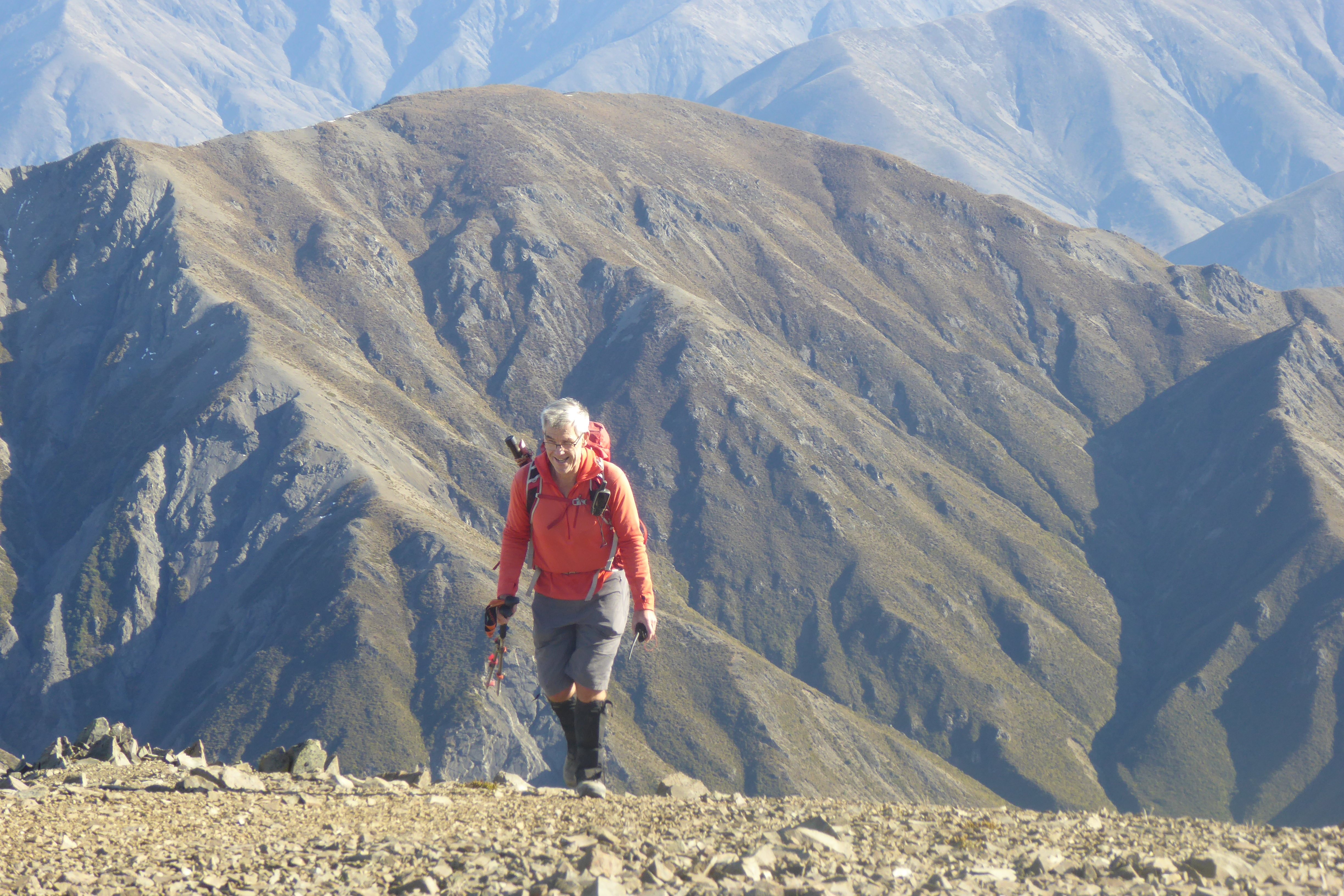
The route to this summit follows the Western Okataina Walkway to the junction (50 minutes) and then up the Whapoungakau Summit track (17 minutes). The SOTA summit at 762m is just beyond the trig but is bush-clad. The trig at 758m is well within the activation zone and is a very nice operating site with clearings, bush and trees to tie antennas to.
 |
| Looking North over Lake Rotoiti |
 |
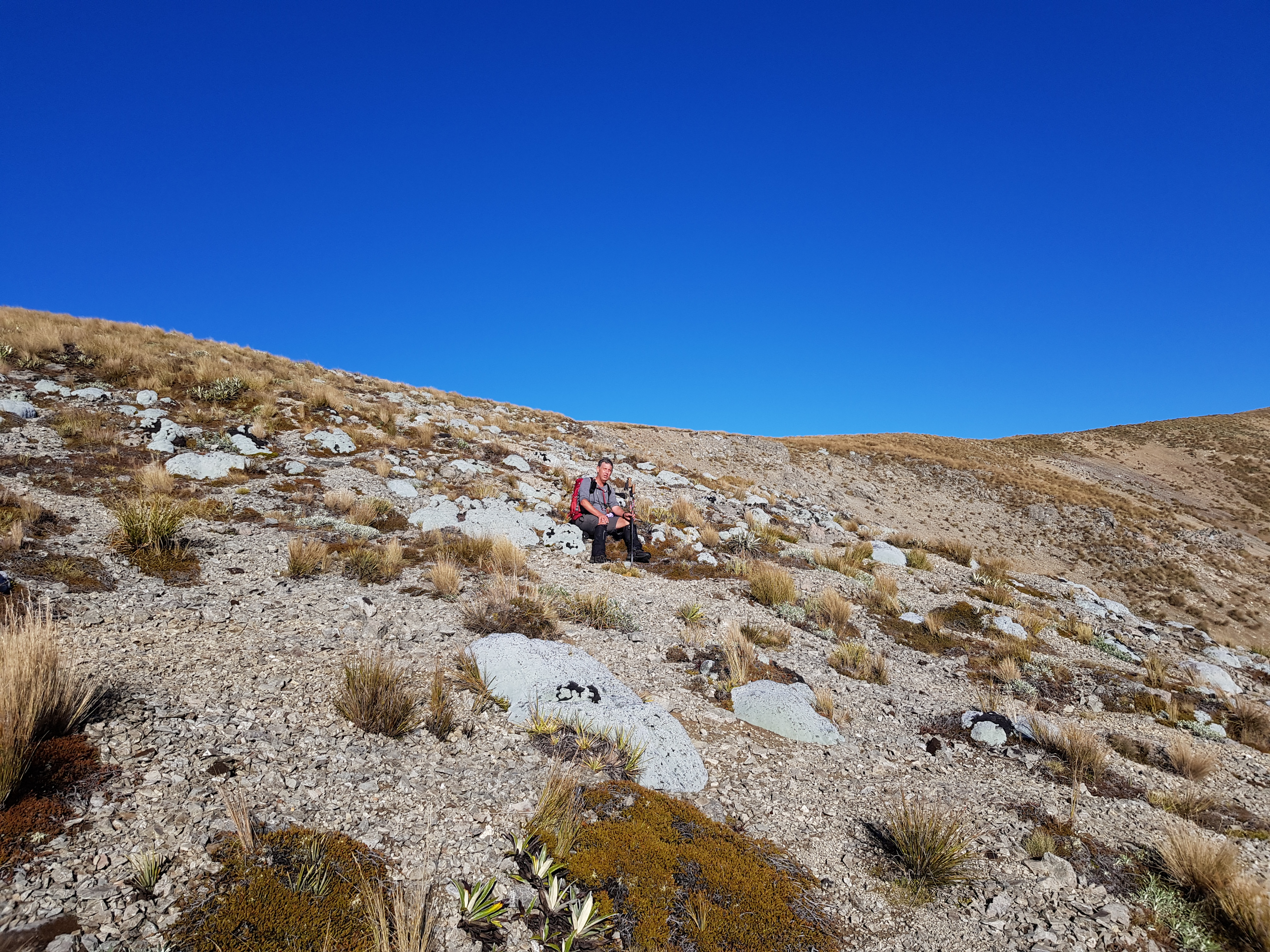
| Operating site just in front of the trig |
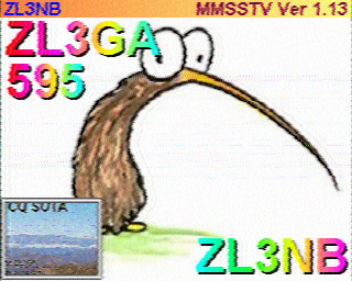
As we flew this trip, I had brought my 5m Carbon fibre telescoping pole, EFHW and KX2. I quickly got set up and tried a 2m contact with Warren ZL2AJ who was teaching a Hamcram at Hamilton. This didn't work out but we soon made contact on 40m with his students listening in - a great opportunity to demonstrate what we do!
I had good signals within ZL on 40m and across to Australia and Japan on 20m
A couple of Summit to Summit contacts with Dave (Sugarloaf ZL3/CB-860) and John (Mt Pleasant ZL3/CB-822) rounded out a very pleasant morning.
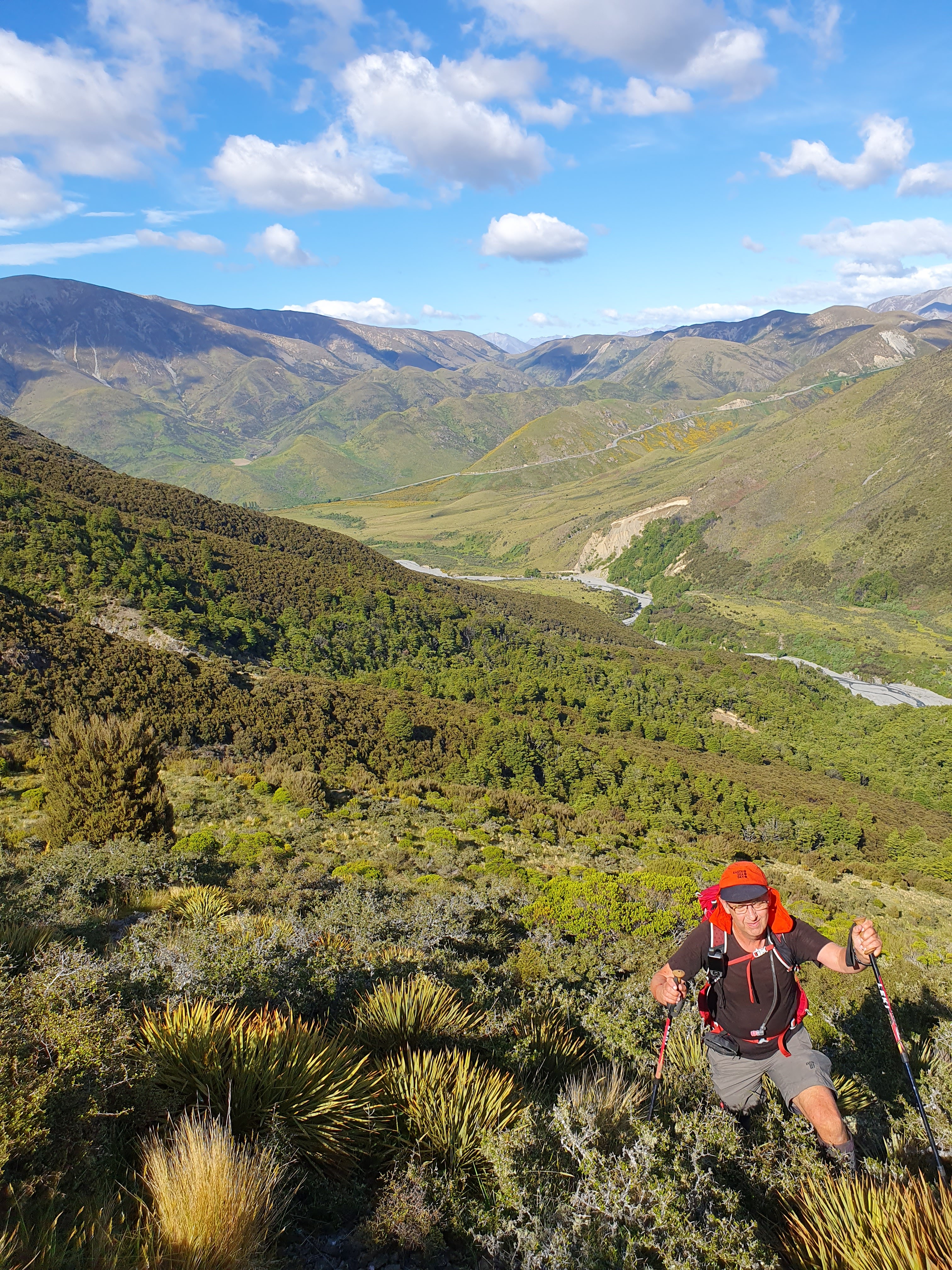
A quick chat with a mountain biker who had arrived at the summit and conscious of Francie sitting down at the car, I packed up and headed down in time for lunch.
A really nice place and highly recommended if you are in the area. Note that this is a shared track with mountain bikers - keep an eye/ear out for them.
Getting there: Drive to Okataina Outdoor Education and Recreation Centre off Lake Okataina Road (off SH30 at Te Ruato Bay, Lake Rotoiti)
Permision: None needed - Lake Okataina Scenic Reserve
Time: 51 minutes to the junction, 1hour 7 minutes to summit. 5.2km and 407m vertical gain.
Cell: Skinny/Spark coverage at summit
Repeaters: Didn't try any but all Rotorua and BOP should be accessible


