Sunday 18 December 2022

ZL3/CB-534

 This un-named summit lies above Lake Rubicon just South East of the Torlesse Range. It's surrounded by private land belonging to Brooksdale Station and accessed from SH73 near the historic Roadmans Hut. Dave happens to know the station manager so permission was secured and off we set on a mild December morning. It starts with a 2km walk up the riverbed or farm track, your choice, before finding a suitable spur to climb to the ridge and along to the generous-sized 4 point summit at 1261m.

We chose the farm track and, only about 1km from the state highway, were rewarded with seeing 3 chamois nannies only 40m or so away. As we both reached for our cameras, they took off, bounding up the hill with graceful ease. A great way to start the day!

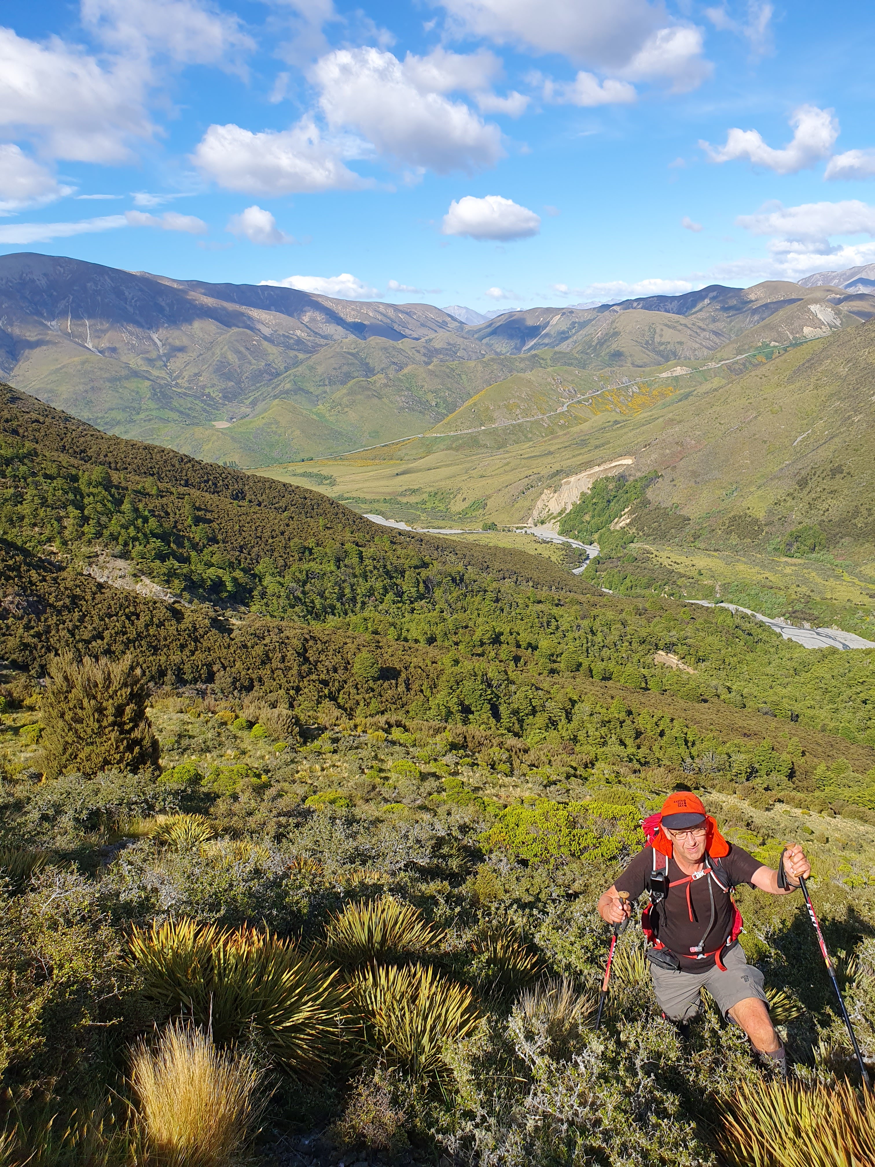
Once you leave the riverbed, the first part is tough with a bit of scrub bashing up a steep section. Once above the scrubline, it's a straightforward slog up to the ridge.

Dave climbing up through the Spaniard and Matagouri. Kowai River below and SH73 Porters Pass in the background

The summit is a good size so we were able to find some shelter from the gusty (but dry) Nor Wester on the lee (Christchurch) side. Dave started on 40m SSB and I hit 2m and 70cm. A great run and 18 contacts in the log before I returned to the HF setup. I then worked some HF CW, local and DX (2 USA and 2 JA).

Antenna (EFHW on 6m Tactical Mini) with Mt Torlesse in the background

We both had evening appointments and wanted to take a circuit route home so packed up around 1130am, had some lunch and set off along the really nice ridgeline traverse to Pt1230. We then dropped down a spur to the riverbed. More bush-bashing involved and a descent down a creek. Back across the river and down the farm track towards the car. A bee sting to my hand forced a quick stop for an anti-histamine and then back to the car. 

NE View from the ridgeline, Lake Rubicon in the middle.

Another great day in the Korowai-Torlesse Tussocklands Conservation Area (this brought up my 500th QSO for this park).

Permission: Conservation land starts above the 900m contour. Before that you are on Brooksdale Station land - permission required, contact Dave ZL3DRN for details.

Getting there: Heading West on SH73, past Springfield but before you start climbing Porters Pass, there is a layby on the right with a little red historic Roadmans Hut on the left. Park in the layby and cross the fence by the gate. Follow the farm track up the valley. GPX file is on the SOTA summits site.

Time: Ascent - 2.5 hours, 5.7km and 700m vertical gain

Descent - there are a number of options but the one we used on our second visit on 10th June 2023 is probably the best. It's on the SOTA Summits tracks page (or contact me for an emailed copy).


Mt Isobel and Dumblane double

 Mark ZL3AB and I have discussed this potential double for a while but this was my first opportunity to try it. The two mountains are opposite each other with Jacks Pass in between. Another weather window presented itself, between 30 degree days late in the week and a wet period beginning Sunday - let's do it!

Conservative as always, I allowed a couple of hours for the trip to Hanmer and 1 1/2 hours for the ascent of Mt Isobel from Jacks Pass. As it turned out, I was way too conservative as we were walking by 7:40am NZDST and on the summit an hour later. A full hour prior to our alerted time. Mt Isobel is acknowledged as Canterbury's most climbed peak and today was proof of that. There were 4 cars in the carpark when we arrived and we met 2 parties heading up and one coming down on our ascent. We got set up on the summit, well away from the trig to minimise annoyance for others, sent out some alerts and text messages and go into it. I got my 4 contacts on 2m and Dave had a nice pile on 40m. Thanks to those who were listening early - we really appreciate it. I jumped on HF and worked Phil ZL1PSH (strong from his new home station) and Chris F4WBN on both 40m and 20m! By this time, the heat was building and several more parties were arriving at the summit so we decided to get moving to avoid climbing Dumblane in the heat of the day. Sadly we missed Warren ZL2AJ on his summit by a few minutes - we were walking off the summit when his message came through... (I might need to make a loaded, telescopic whip for 40m situations like this)

View back towards Christchurch from Mt Isobel, Hanmer springs in the foreground 

We carefully picked our way back down to Jacks Pass, a quick stop at the car to replenish water and take on some calories and off to Dumblane, adjusting our Sotawatch alert time to on the way. 

I had promised Dave that we wouldn't be bothered by the same number of visitors on Dumblane as it is not so well known... Now fully poled and obviously well used, we encountered two parties at the summit! The climb was uneventful however hot in places, my temperature sensor recorded 30 degrees C in one section. Average temp was 23, we wouldn't have wanted it to be any warmer.


View from Dumblane back to Mt Isobel. Jacks Pass road with the car park (left) and the start of the Mt Isobel track visible.

Set up here was the same as the previous, EFHW and KX2. We worked Rick ZL3RIK at his Castle Hill Park and locals on 2m and 70cm. Good conditions on the higher HF bands saw contacts with Taiwan, Japan (S2S) and USA.

Worked the UTC rollover, had lunch at 1:30pm NZDST and headed down.

A big day but very rewarding and good fun. The views back over Hanmer Springs and into the back country are great.

Summary:

Permision - none needed, both summits are on Conservation Land. Dumblane is also in WWFF - ZLFF-0044 and POTA ZL-0269 Hanmer Forest Park. Careful location of the operator at Mt Isobel could also place you in the park and SOTA AZ but we did not try this.

Timings:

Jacks Pass to Mt Isobel - 1 hour, 3 km, 500 m vertical

Mt Isobel to Jacks Pass - also 1 hour, there are several sections where extreme care is needed descending.

Jacks Pass to Dumblane - 1 hour 10 minutes, 3.3 km,  466 m vertical

Dumblane to Jacks pass - also 1 hour - tired knees by this point!

Total - 12.54 km and 1051 m vertical