Sunday 27 October 2019

Mt Alford ZL3/CB-568

I'd been keen to get down and do some of the Mid-Canterbury summits for some time. The easement to access Mt Alford is closed for lambing 20 September until 20th October (inclusive) so the weekend after Eastfest (in Methven) was selected. Edit Sept 2020 - the easement closure is now 1 Sept - 30 Sept, check DOC website before you go!
Saturday dawned fine and clear with North East winds forecast to increase throughout the day.
It's a 1.5 hour drive from home via the spectacular Inland Scenic Highway (SH72).

I arrived at the carpark and started walking at 8:40am
The track is described as Moderate, lots of rain the previous few days left it boggy in places but easily navigated. As you climb through the beech forest (fantastic birdsong from the Bellbirds), glimpses of the plains show through until you reach the alpine tussock tops.

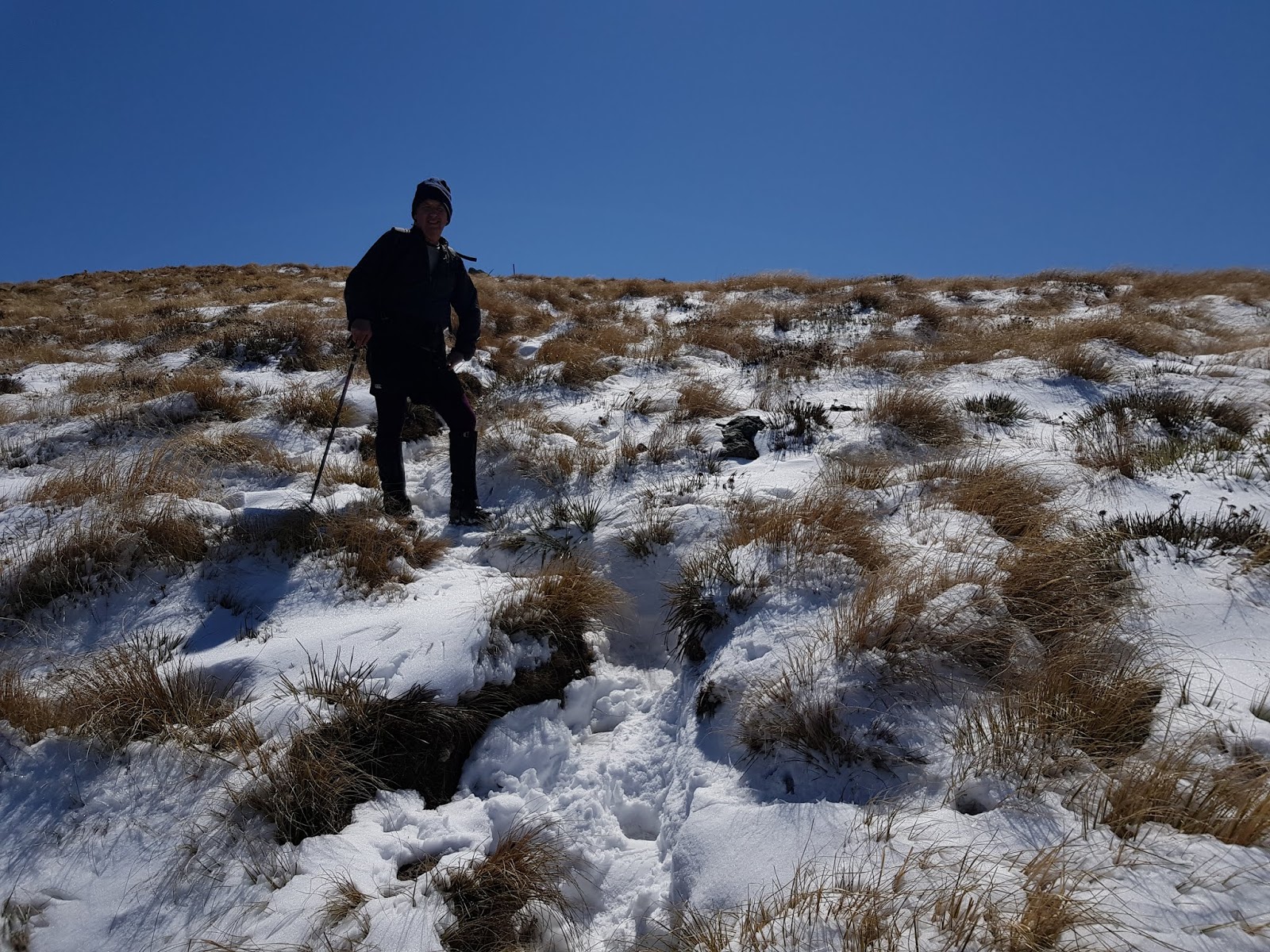
Fenced area to the left is Mt Alford Station, repeater sites and observatory, track climbs to ridge and along to summit on right
The track crosses areas of volcanic rock with many skinks and grasshoppers sunning themselves on the warm rocks.The summit itself looks like a volcanic boulder field - remnants of a very active volcanic area 89,000 years ago. They make great antenna supports :-)

Pole jammed between two boulders with antenna wire to the operating site. Mt Hutt in the background (North)
The larger boulder in the next photo came in handy (to stand on) when I heard Richard calling from Mt Barossa, the other side of Mt Somers and Mt Winterslow
Mt Somers (left) and Mt Winterslow (right)
I think the radio signals (on 2m) refracted over the ridge - anyway, it worked!
Radio-wise, it was an interesting activation. No Australians (first time that's happened). Worked S2S: Mark ZL3AB on Dunblane (Hanmer) on 10m CW, Richard ZL4FZ on Mt Barossa (2m), John ZL1BYZ on Puketutu  and the gang of loyal chasers as well. Also worked David ZL3UDH in Timaru (2m). Thanks everyone!

Wind was reasonably strong but not too bad. I packed up and headed down about 1:30pm. On the way down I met an 88 year old gent with his son climbing up, Dad apparently does the walk every couple of days - he looked in great health!

I'm a sucker for a panorama, especially with breathtaking scenery like this, open the photo by clicking and pan (if necessary) using your mouse. The panorama is 360 degrees, starting and finishing at Mt Hutt and panning across the Canterbury Plains.


Getting there: SH72 to the Mt Alford car park via Alford Settlement Road

Permission: Easement access and DOC conservation land so none needed. Easement closed 20 Sep to 20 Oct each year inclusive. EDIT Sept 2020  - the easement closure is now 1 Sept - 30 Sept, check DOC website before you go!

The track is well marked.
Trig marker: none, but there is a cairn and wooden pole.
Cell coverage: Yes (Spark)
Repeater access: all Canterbury repeaters.
Time to the top: DOC says 3 hours up. It took me 2 hours 40 min with stops. 1 hour 30 minutes down with a couple of stops again.
Distance traveled: 8.7km with 713m of climbing


Wednesday 9 October 2019

Mt Oxford ZL3/CB-500 6th October 2019

This was to be my highest and longest climb yet attempted. 13.2 km (round trip) and 940m height gain. I was glad to have David ZL3DRN along with me. David is an experienced mountaineer and relatively inexperienced ham. As it turns out, our skills complemented each other nicely!

View of the summit (snow covered high point left)  from near the start of the track
Sunday dawned clear and frosty after snowing in the high country the day before. We met at the Coopers Creek track start point at 9am and set off.

David ZL3DRN among the snow tussock
I did my usual trick and set off like a rocket, only to run out of legs before the final climb to the summit. David recognised the signs and called a stop to refuel with some protein snacks. The photo above shows the terrain for the top half of the climb.

Made it!
After a good break and me feeling much better, we set off for the summit and boy was it a welcome sight! 3.5 hours to the top (DOC says 3-4 hours so I don't feel too bad).
Operating 2m from a cairn on the summit. Waimakariri river in the background.

We had a quick break at the summit and started on 2m to work the locals before the UTC rollover. This went well both of us working S2S with Mark ZL3AB on Carews Peak, John ZL3MR on Trig M and Ian ZL3GIG on Mt Pleasant as well as all the loyal local chasers. We then set up on HF using the summit sign to support the pole. By this time it was 0003z and time to work the locals again for the new UTC day. Once complete, we went to 40m and worked Warren ZL2AJ who kindly spotted us (poor Spark coverage on the summit). John ZL1BYZ on ZL1/AKL-014 and Soren ZL1SKL on ZL1/ML-002 called for S2S and then we worked Jacky ZL1WA, Andre ZL1TM and Richard ZL4FZ.
Tried 20m but too many contest stations and I was staring to get cold (we were well above the free air freezing level of 1000m) and the predicted Nor' Easter was coming up.

A highlight of the day was being buzzed by a glider - he was only about 50m away from us as he surfed the ridge thermals and was waving at us from the cockpit as he whooshed past!

Packed up at 0030z and we headed down to a spot out of the wind for lunch.


Me on the descent after our lunch stop

This is a great walk and a very popular summit. We met about 7 other parties during the day.
It's not one to be taken lightly and, if tackling it in the summer, head up very early in the morning to avoid the heat (and carry plenty of water). From personal experience, pace yourself on the first bit and conserve energy for the steep bits further up!!

My thanks to David for his advice, coaching and company. A very enjoyable trip which I look forward to doing again next year.

Getting there: Drive to the Coopers Creek car park which is on Mountain Road near Oxford.
Permission: easement access and DOC conservation land so none needed. The track is well marked.
Trig marker: none, but there is a sign saying Mt Oxford 1364m which you can bungee a pole to.
Cell coverage: Yes but patchy (Spark)
Repeater access: all Canterbury repeaters.
Time to the top: DOC says 3-4 hours up. It took me 3 hours 30min with many stops.
Distance traveled: 13.2km with 940m of climbing